Knidos Ancient City
A two-harboured Dorian city on the headland where the Aegean meets the Mediterranean. The most famous statue of the ancient world stood here, and the architect of the Pharos of Alexandria came from here. It is 35–40 km from Datça town on a winding road — this page covers both the city's story and how to reach it.
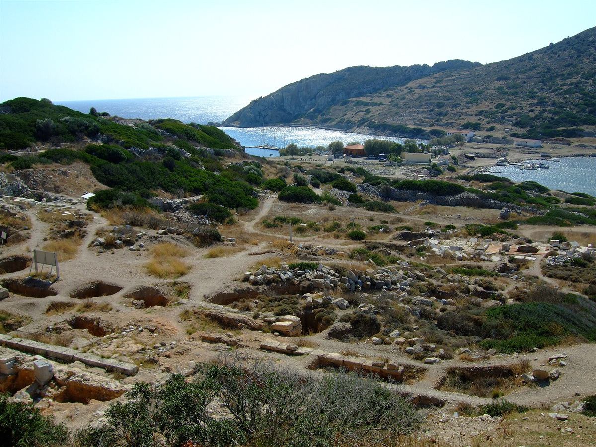
A city of two seas and two harbours
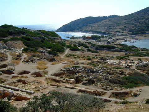
What Knidos is
An ancient Carian city at the very tip of the peninsula, where the Aegean meets the Mediterranean. It was a Dorian city, part of the six-member league known as the Dorian Hexapolis along with Halicarnassus, Kos and three Rhodian cities. In the 4th century BC the city moved out to the peninsula's tip, at modern Tekir; the earlier settlement is thought to have been near present-day Datça.
Why two harbours
The city spread across both the mainland and the Deveboynu headland opposite (ancient Triopion, Cape Krio); in antiquity the two were joined by a causeway and bridge, and today a narrow sandy isthmus remains. The causeway split the shoreline into two separate harbours, and the southern one was further enclosed by two strongly built moles. Having a harbour that ships could shelter in whichever way the wind blew is what made the city rich.
Three big names from a small city
Eudoxus
One of the foremost astronomers and mathematicians of the ancient world; the model of nested spheres he built to explain the motion of the heavens was used for centuries. The ancient sundial you can see on the site is a tangible trace of the city's connection to astronomy.
Sostratus
The architect of the Pharos of Alexandria, counted among the seven wonders of the world, came from Knidos. That someone raised on this headland — where the Deveboynu lighthouse stands today — went on to build antiquity's most famous lighthouse says something about this place and the sea.
Ctesias
A Knidian who served as a physician at the Persian court and wrote on Persian history. Knidos had a medical school of some renown in antiquity; the city's reputation did not rest on trade alone.
The Aphrodite of Knidos
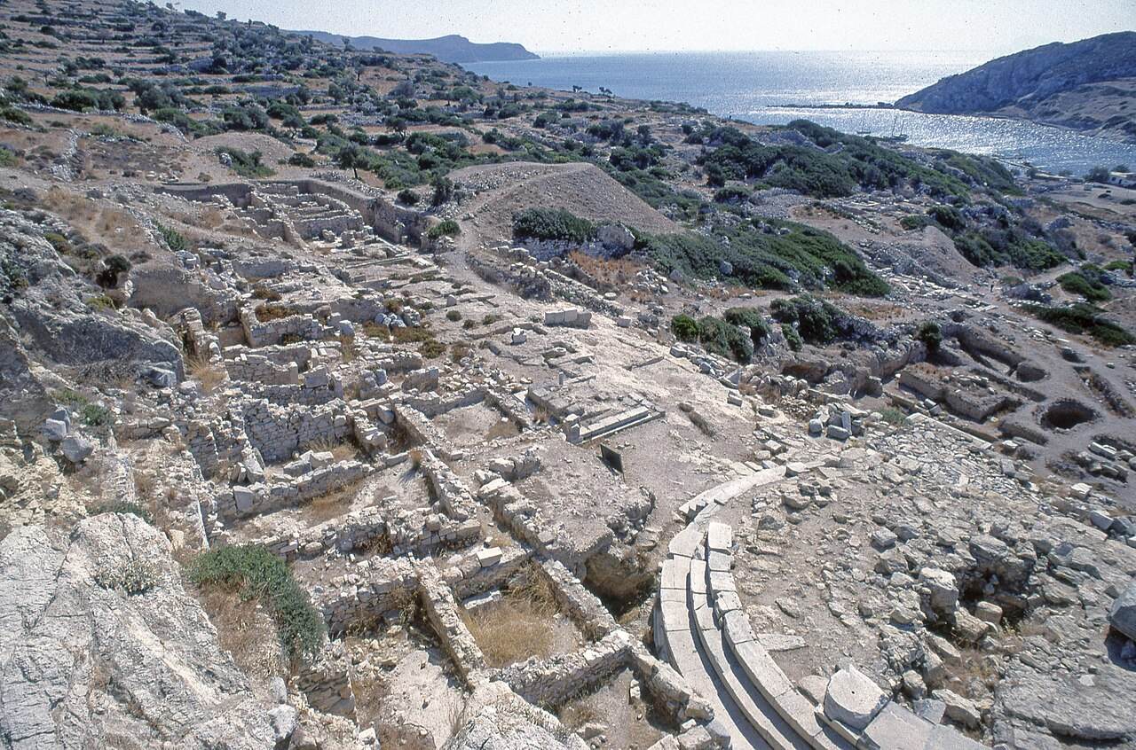
The original statue is lost. It survives only through Roman copies — what you can see at Knidos is not the statue but the place where it stood.
Kos said no, Knidos said yes
According to Pliny the Elder, the sculptor Praxiteles carved two Aphrodites: one clothed, one nude. The people of Kos took the clothed one; the Knidians took the nude. Knidos placed it in a round temple and it became the most celebrated statue of the ancient world — Pliny called it superior to anything not merely by Praxiteles but in the whole world. Part of the city's income came from visitors who travelled purely to see it.
The Lion and Demeter are in London
The British archaeologist Charles Newton excavated at Knidos in 1857–58. Two major finds — the six-tonne Lion of Knidos and the Demeter from the sanctuary of Demeter — were taken to London soon after. Both are in the British Museum today. Knidos's best-known pieces are not at Knidos, and knowing that makes the seemingly empty ground easier to read.
What you can see today
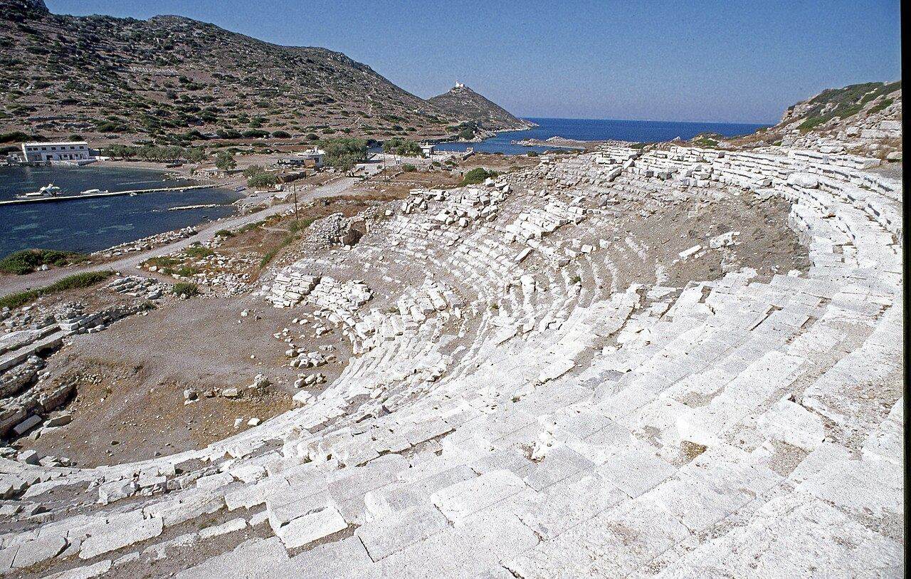
Theatre, temples and the sundial
The remains of the theatre, the temples and the ancient sundial can be seen. The ruins spread across the slope, so visiting means a fair amount of walking — comfortable shoes and a hat help. You can swim in the cove right beside the site.
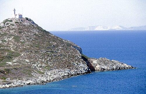
Deveboynu Lighthouse
It has been working since 1931 on Deveboynu headland at the tip of Knidos. The nine-metre tower stands 104 metres above sea level and its light is visible from ten nautical miles. It marks the point where the Aegean meets the Mediterranean. It is run by the Directorate General of Coastal Safety; the lighthouse and its quarters are listed buildings and closed to visitors, so the view is taken from the headland.
How to get to Knidos
The road to Knidos is long and winding; it is roughly 35–40 km from town. Allow more than half a day for the round trip and set off early. Opening hours change with the season, so check the current times before you leave.
The western tip of the peninsula: Knidos, the Deveboynu lighthouse, the last village on the road and the nearby coves are marked.
By car
You head west through Palamutbükü and Yazıköy; Belen is the last village on the road to Knidos. Roadside stalls along the way sell almonds and olive oil and make a good stop. Because the road winds, think of those 40 km in Datça road terms, not motorway terms.
By village bus — a caveat
MUTTAŞ line 9-5 runs via Palamutbükü, Çeşme, Cumalı and Belen: 40 km, one run a day, out at 16:00 and back at 20:00. Two things to note: the line goes as far as Belen village, not the gate of the site; and leaving at 16:00 leaves no time to walk the ruins. The bus is a way of reaching that end of the peninsula, not a way of visiting Knidos. Times can differ between summer and winter.
Official page for the line ›By boat
The long tour leaving Datça harbour is a full-day route that calls at ancient Knidos. Seeing the city from the sea has its own advantage: the two harbours and the isthmus between them only make sense as a whole from the water. The entrance fee to the site is usually not included in the tour price, so carry cash.
On foot — the Karia Way
Two stages of the Karia Way connect to Knidos: #12 runs from Palamutbükü to the ancient city, and #13 drops north from Deveboynu headland to Mersincik. Both count as hard and are exposed to the wind; #13 crosses the loneliest part of the peninsula and is not recommended alone. Winter and spring are the best seasons.
Open the stages and GPS tracks ›Nearby on the way to Knidos
Bağlarözü (Yazıköy Beach)
A quiet stretch of shore near Knidos, reached down through almond trees. The most practical place to cool off after walking the ancient city.
Merdivenli Cove
An extraordinary cove between Mersincik and Knidos, reached by 2,500-year-old stone steps down to the sea. Accessible only on foot or by boat, and one of the most special places in Datça — a tangible trace of how far the ancient city's reach extended along this coast.
See it on the beach map ›Belen village
The last village on the road to Knidos, known for its almonds and olive oil; the roadside stalls make a good stop for local produce. It is also the final stop of village bus line 9-5.
Photo Credits
- Knidos-Häfen — Tischbeinahe, CC BY-SA 3.0 · Wikimedia Commons
- Knidos Theatre — Dosseman, CC BY-SA 4.0 · Wikimedia Commons
- Knidos Temple of Aphrodite — Dosseman, CC BY-SA 4.0 · Wikimedia Commons
- Knidos view of Deveboynu Lighthouse — Dosseman, CC BY-SA 4.0 · Wikimedia Commons